Creeks, Rivers, and what about
Trees?
A country drive
looking at degraded Sub-Watersheds and
Stripped Riparian Zones.
Rating: Ok, but more needs to be done.
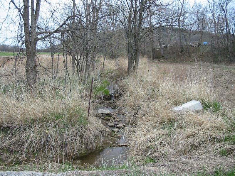
We are less than a kilometer from the rock face at this site, half way between Walkers Line and Guelph line. This little creek is descending off Mount Nemo flowing towards us, then tunes east to join Bronte Creek. There are springs all over the edge of the escarpment and although I have not walked this creek to find out for sure, you can bet that most of the water here comes from these springs. That is likely one of the reasons the creek is running so nice and clear.
Unfortunately, clear water is not a good indicator of creek health when taken on it's own. Water temperature is a major indicator, along with chemical analysis, and finally, field investigation to study the presents of biota living in the water. What is plainly obvious from our vantage point at the side of the road, it the glaring lack of trees.
An action plan for this area could include item such as widening the grass buffer, planting more trees, and getting the area cleared of junk like that concrete bloc.